

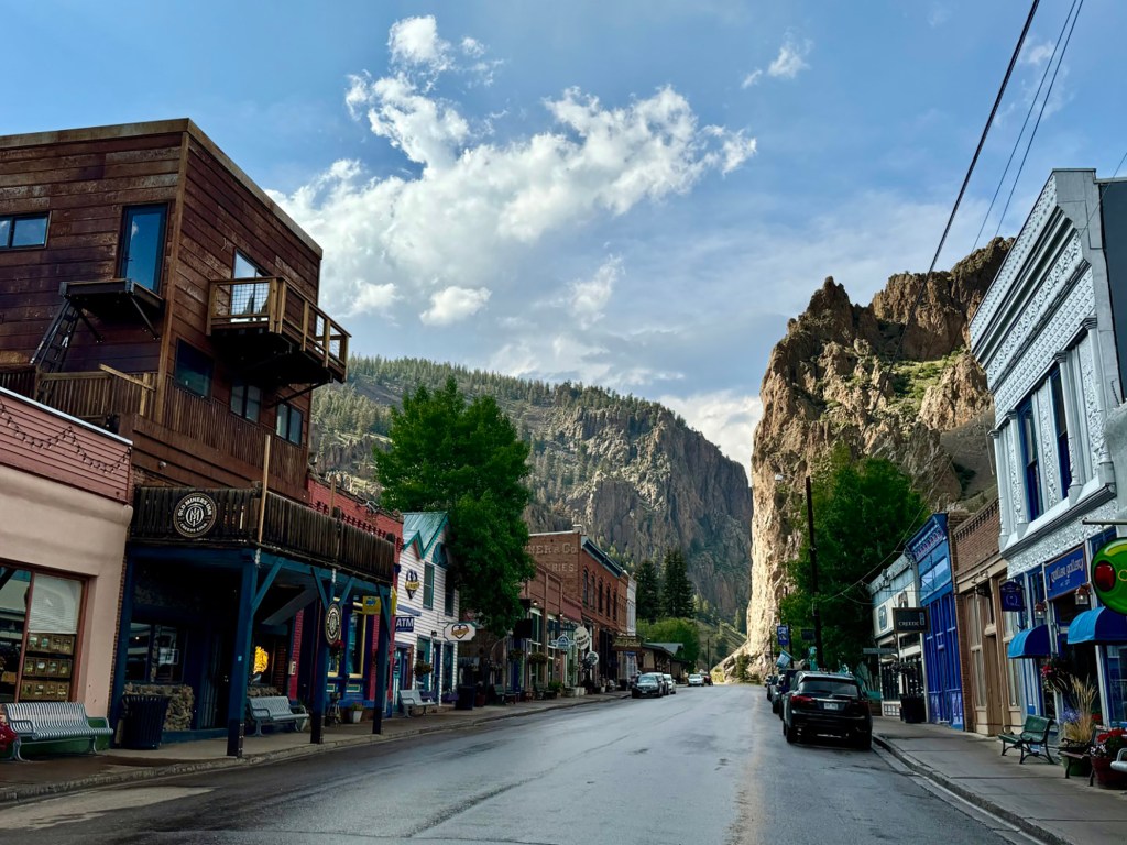
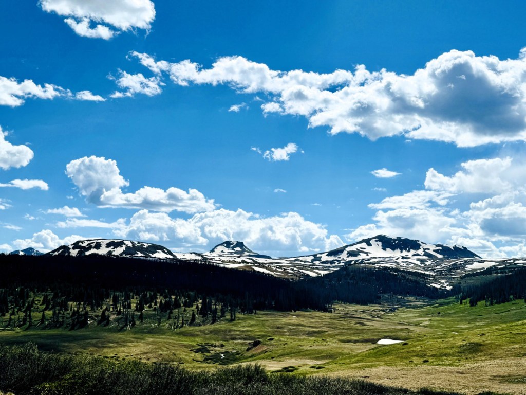

CREEDE, Colorado — Slopes cloaked in Engelmann spruce, towering canyon walls of red rock and spectacular snow-capped peaks hem in the town of Creede in the San Juan Mountains. Rich with a silver mining history, the enclave is now a popular tourist destination and a favorite rest and resupply stop for hikers on the Continental Divide Trail.
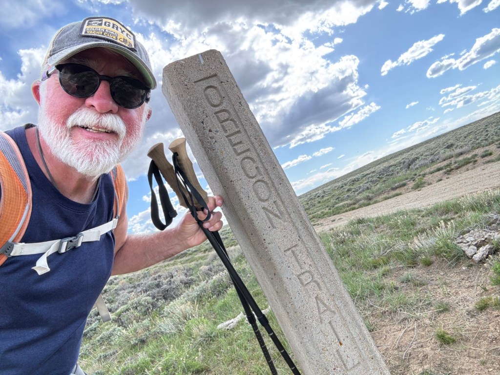
Reaching Creede, Colorado, Carey Kish has now completed 1,000 miles of the Continental Divide Trail. Carey Kish photo
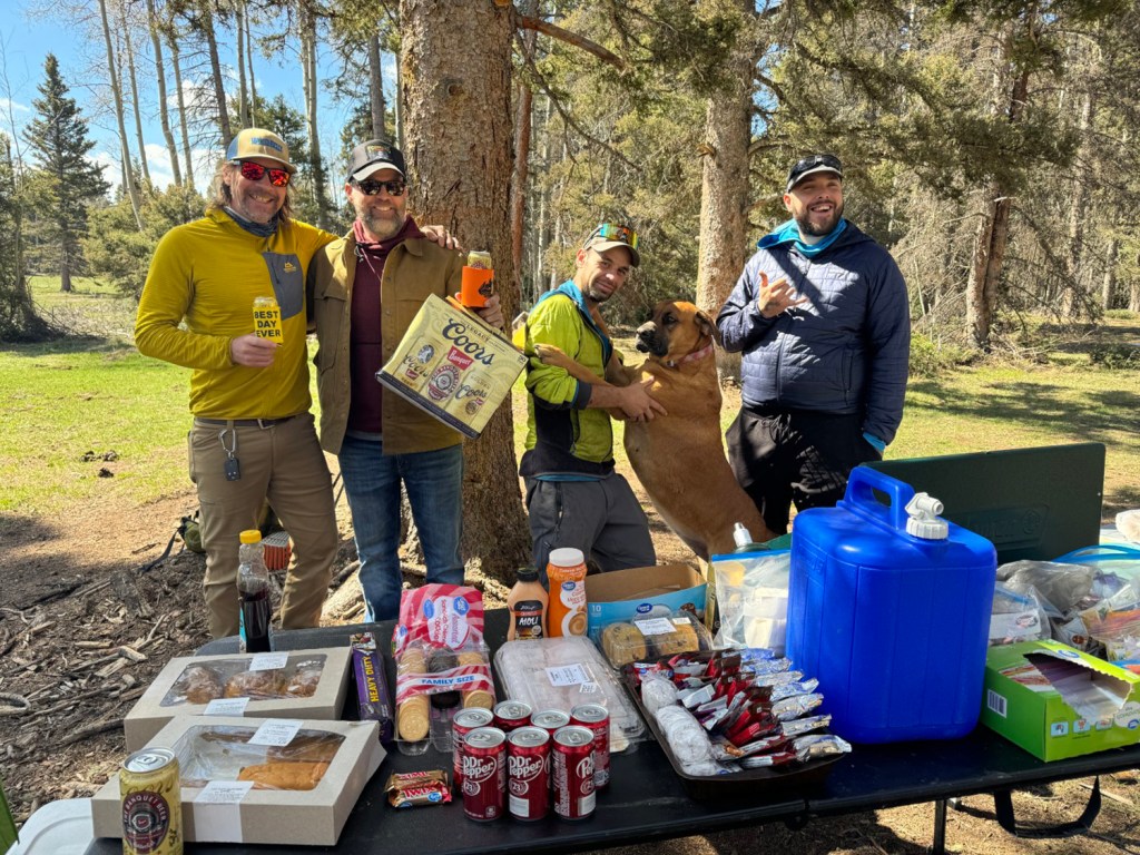
Reaching Creede on a perfect day of warm temps and bluebird skies, I headed up the main street to the Spare Keg Brewery. A cold beer was in order to celebrate passing the 1,000-mile mark on this long and winding journey that began way back on March 30 at the Crazy Cook Monument on the Mexican border in southwestern New Mexico’s boot heel.
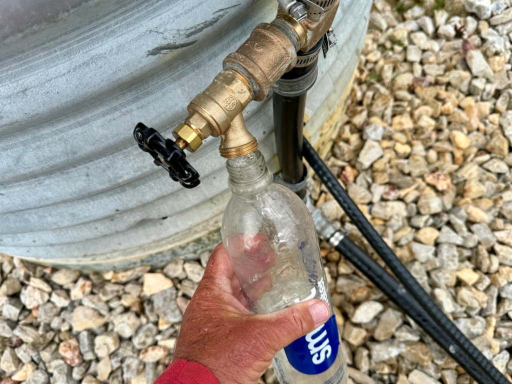
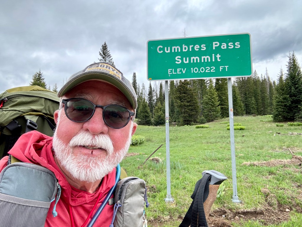
From Ghost Ranch (where I last reported from), the final 90 miles of the Continental Divide Trail in New Mexico threaded through the high country of the Carson National Forest. Despite lingering stretches of heavy snowpack, the hiking was good and the scenery sublime. Hitting the Colorado state line at 9 a.m., I enjoyed a can of Coors left in a bear-proof box by the thoughtful outfitter in Chama.
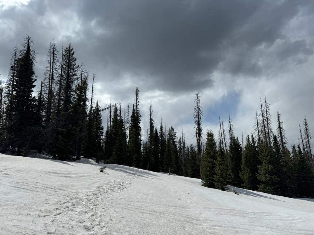
At Cumbres Pass, the best way forward was temporarily uncertain. From this point north to Wolf Creek Pass, there were reports of avalanche danger, hazardous traverses, miles of post-holing through deep snow and difficulty navigating – conditions more akin to a mountaineering expedition than a trail hike. Hikers who pushed through struggled mightily, and many bailed out to safety.
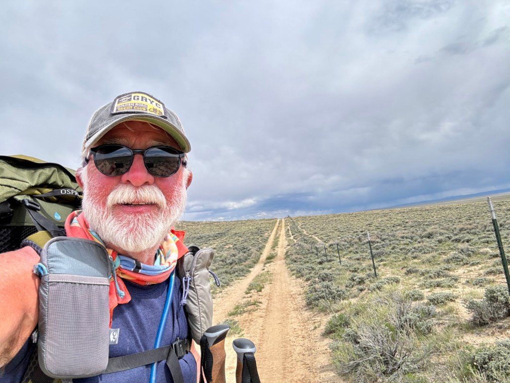
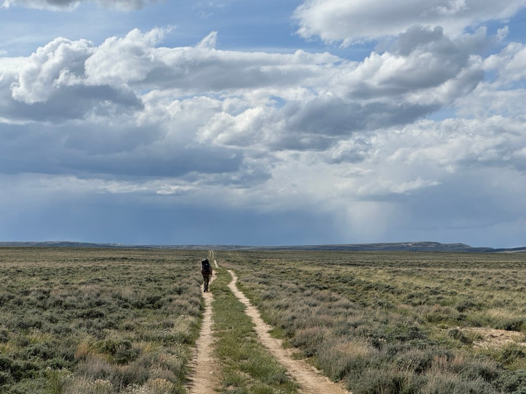
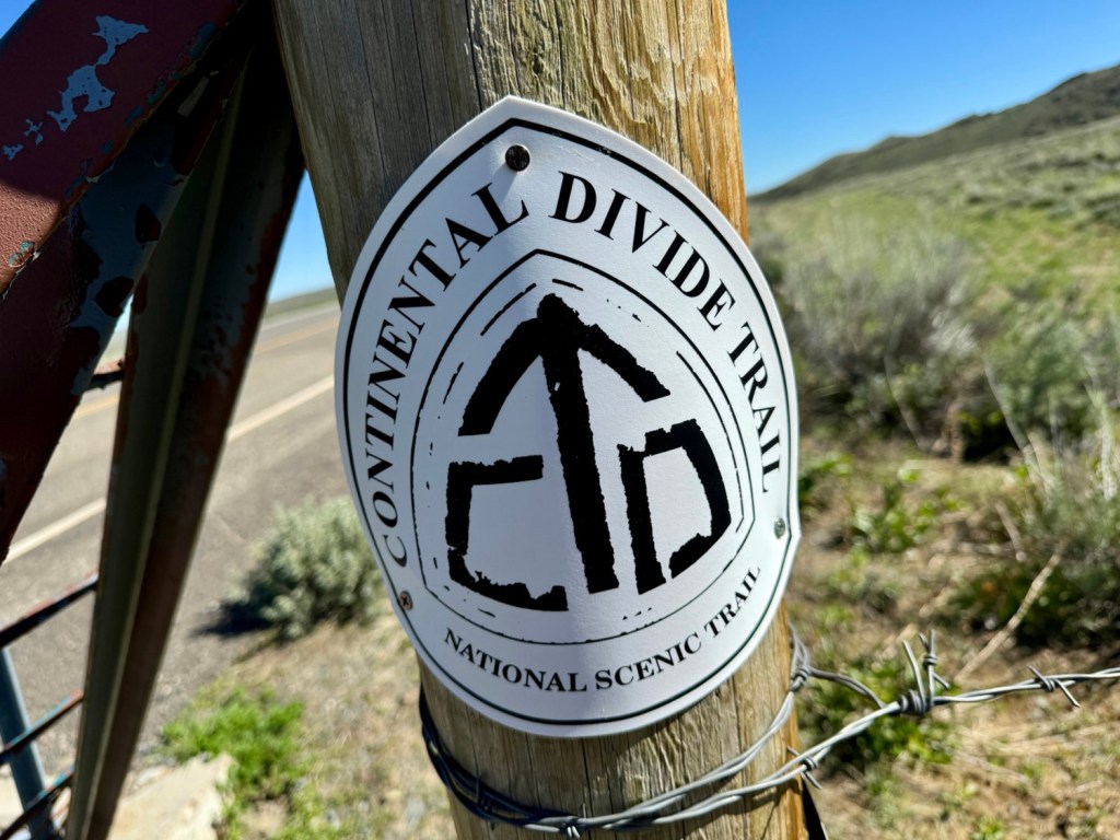
The rule of thumb for entering Colorado’s San Juan Mountains is mid-June at the earliest, but the thru-hiker bubble (which included me) had arrived in late May. One option was to travel to Wyoming and hike the CDT through the snow-free Great Divide Basin, a distance of 180 miles. The two weeks required to do so would allow more time for the San Juans to melt off while still actively logging some miles. The plan was a go.
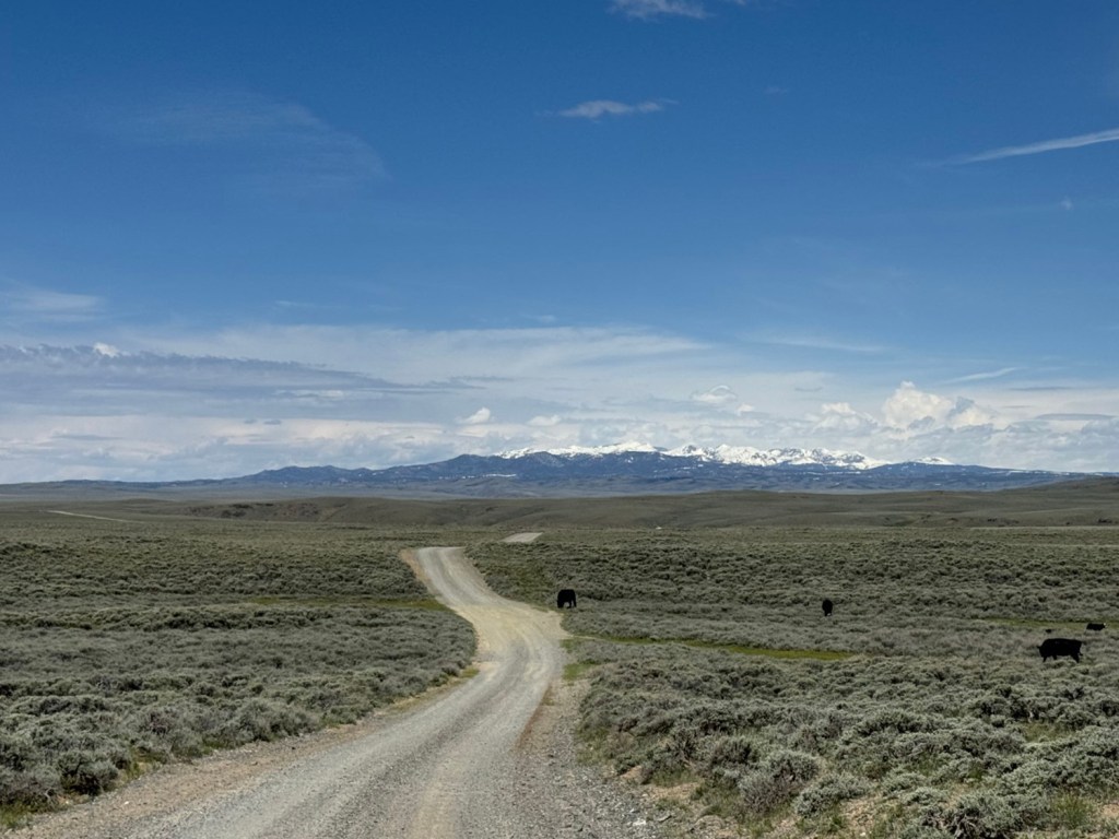
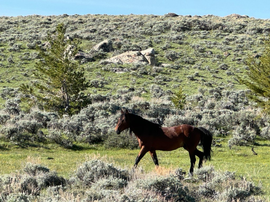
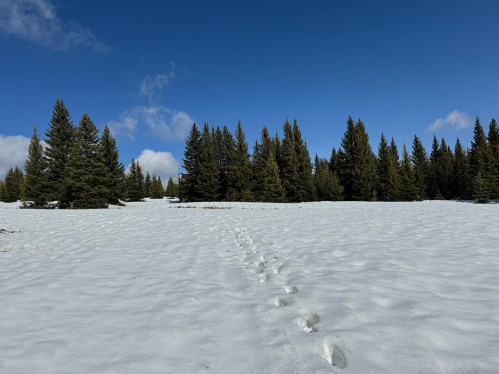
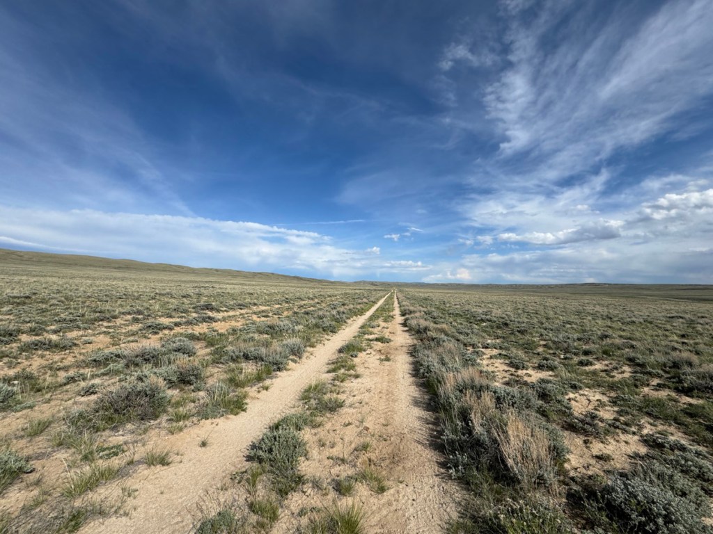
Wyoming’s Great Divide Basin is a bizarre landscape of rolling hills, sagebrush and virtually no trees. Carey Kish photo
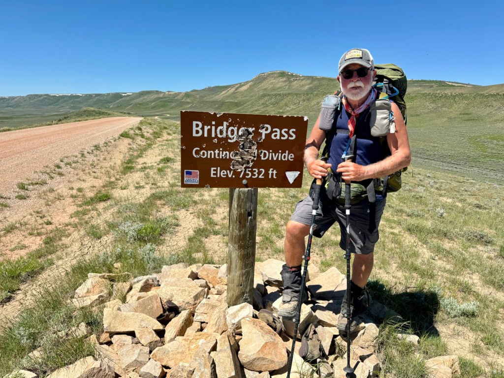
Enclosed by a split in the Continental Divide, the Great Divide Basin is an enormous expanse ranging roughly from the edge of the Wind River Range to Bridger Pass outside of Rawlins, just shy of the Sierra Madre. Known as an “endorheic basin,” none of the precipitation falling to the ground within its bounds drains into any ocean, directly or indirectly.
The Great Divide Basin is a bizarre landscape of rolling hills, sagebrush and virtually no trees. Mule deer, elk and wild horses abound. Ticks and flies were also abundant, but thankfully I was too early for the mosquitoes. In the searing heat of midsummer, this would be a pretty tough place to hike, and many of the natural water sources would be dry. The good reasons for taking this late spring detour added up to the right choice.
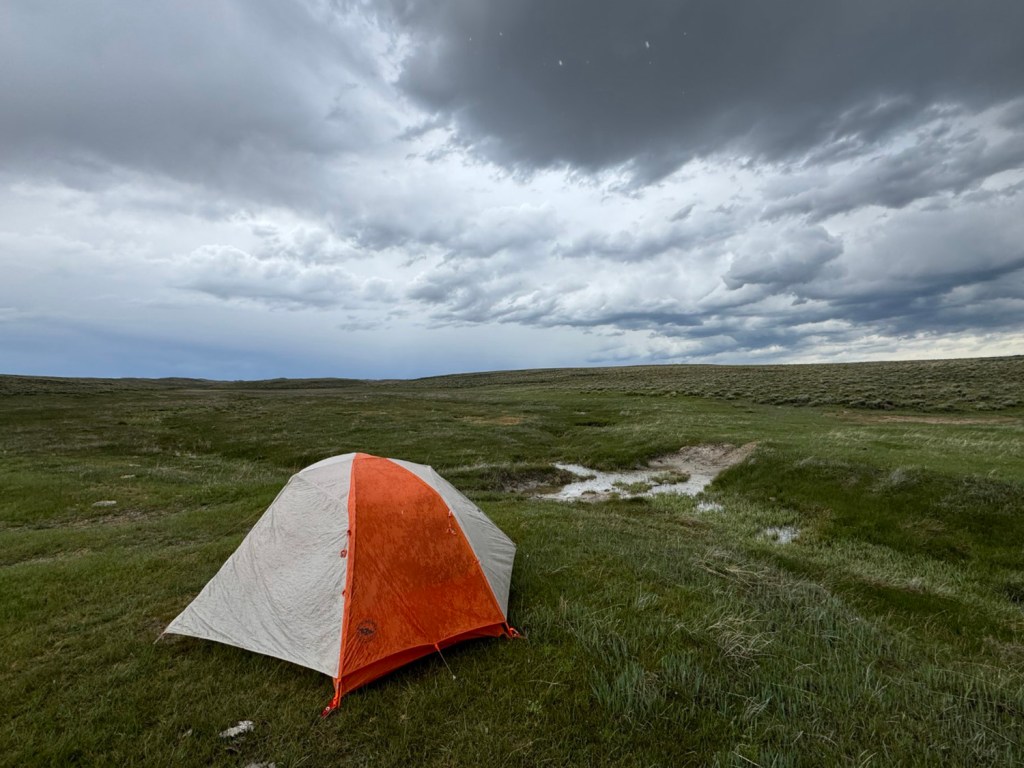
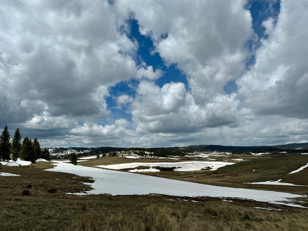
The defining word for a traverse of the Basin is “wind,” which is nothing short of relentless. It was common to battle steady winds of 25 to 35 mph with gusts of 50 mph and higher.
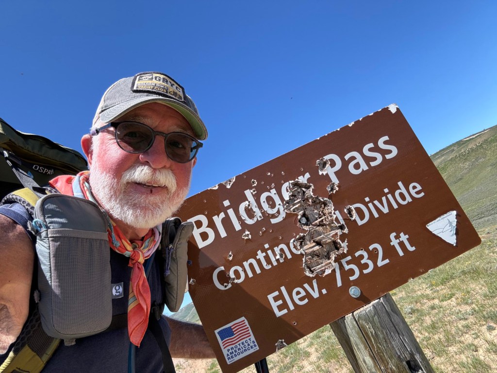
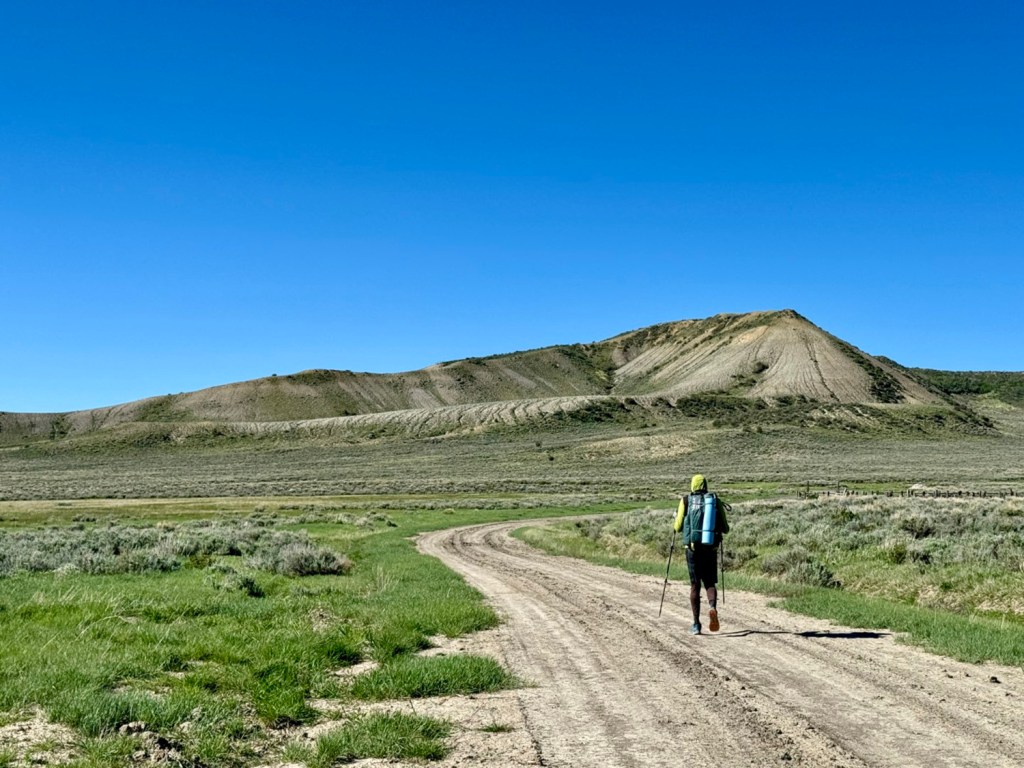
Bridger Pass was a highlight of the hike through Wyoming’s Great Divide Basin. Carey Kish photo
Mother Nature put forth her best effort to stymie my progress, but just the same, I accomplished my best day in the Basin, a marathon of 26.2 miles from Crooks Gap to the critical flow of Bull Springs. I also earned a bloody split lip from all the exposure, but I didn’t mind, as it’s apparently a rite of passage for Basin hikers.
Returning to the CDT in southern Colorado, I paid heed to the snow reports on the trail telegraph (social media and the Far Out CDT app) and opted to follow alternate routes east of the divide for the 100-mile stretch from Cumbres Pass to Creede, through the valley of the Conejos River, up and over Elwood Pass, and then along the South Fork of the Rio Grande River. I’m hoping the extra time will pay dividends in terms of clear trail ahead. We’ll see.
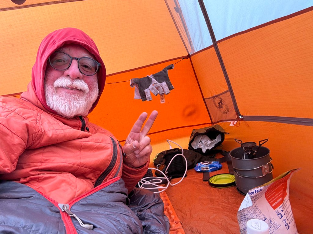
After a couple of days chilling in Creede, I’ll strike off for 12,000-foot San Luis Pass, where I’ll reconnect with the divide and the official CDT. To be sure, my ice axe is securely strapped to my backpack, which also holds microspikes and six days’ worth of food. Monarch Pass, U.S. Route 50 and my next resupply in Salida are 100 miles beyond.
Wish me luck.
Carey Kish, of Mount Desert Island, is thru-hiking the 2,800-mile Continental Divide Trail along the spine of the Rocky Mountains from Mexico to Canada. Follow more of his journey on Facebook and Instagram.
Send questions/comments to the editors.

Modify your screen name
Join the Conversation
Please sign into your Press Herald account to participate in conversations below. If you do not have an account, you can register or subscribe. Questions? Please see our FAQs.