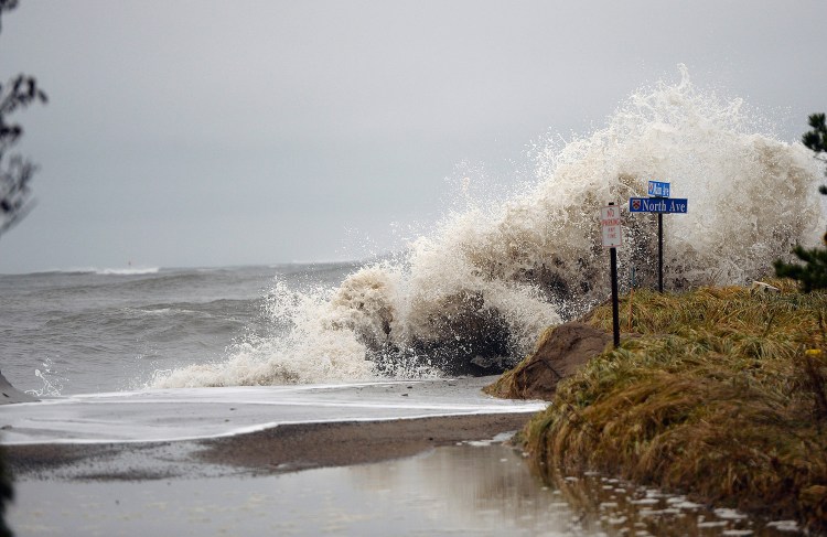
Increased tidal flooding caused by sea level rise has contributed to a loss of $70 million in the appreciation of waterfront real estate values in Maine over the last 12 years, according to a report released Tuesday.
Research compiled by Columbia University and First Street Foundation, a New York City nonprofit that quantifies the economic impact of sea level rise, showed Maine second behind Massachusetts among New England states, which collectively lost $403 million in appreciated value between 2005 and 2017.
Jeremy Porter, a Columbia University professor and statistical consultant for First Street Foundation, said work on the study has been ongoing for about two years. Whereas most research on the impacts of rising sea levels looks ahead, the group decided to discern how flooding and rising ocean levels are already affecting home values. The researchers did this by evaluating real estate transaction information and data from the National Oceanic and Atmospheric Administration, and other federal agencies.
“Our thought was, if this is already occurring and people know about it, there must be a negative response to it,” Porter said.
The same researchers had previously analyzed the real estate market in Miami-Dade County in Florida, which saw similar impacts.
Many areas along Maine’s coast are susceptible to flooding, and the five hardest-hit communities in Maine in terms of lost real estate value were: Bath ($4.1 million); Biddeford ($3.7 million); Scarborough ($2.7 million); Saco ($2.2 million); and Kennebunkport ($1.7 million).
According to the research, 8,181 houses in Maine lost value due to increased tidal flooding caused by sea level rise between 2005-17. That’s an average of $8,540 lost per house, although the impact varies considerably from property to property.
An extreme example cited was a home on East Grand Avenue in Scarborough that is assessed at $117,000 but should be worth $248,556, according to the analysis. The report did not specify the property’s address.

The researchers have established a database – FloodiQ.com – where people can check the risk of their town or even their address.
Porter and Matthew Eby, First Street Foundation’s executive director, said one of the more interesting results to emerge was that flooding of nearby roads – not necessarily the home’s parcel itself – also can affect housing prices. That’s because flooding of roads or other nearby infrastructure can create a “negative stigma” for an area.
The research team took a “macro” approach to home prices in order to attempt to adjust for value fluctuations from other factors, such as the 2008 economic collapse that put the country into the Great Recession. Home values across the country dropped when the “housing bubble” burst during the recession. And while most home values have since risen, the recovery has not been uniform.
“We know that the economy has been strong or growing the past 10 years or so … but our model shows that places that flood are not increasing in price as fast as places that do not flood,” Porter said.
Even for homes that appreciated during that time, most were at a lower rate than comparable homes not affected by tidal flooding caused by higher sea levels. Rising seas are one of many effects attributed to global climate change.
Porter and Eby hope the report will provide homeowners and homebuyers with information that previously has been available only to institutional buyers. They also hope the data will prompt policymakers to have discussions about ways to prevent or adapt to rising sea levels.
“The most important thing is we are identifying this now versus when it is too late to do something about it,” Eby said.
Sea levels are projected to rise across coastal New England by 1.7 inches in five y–ears and 3.6 inches in 10 years, according to the U.S. Army Corps of Engineers.
Eric Russell can be contacted at 791-6344 or at:
Twitter: PPHEricRussell
Send questions/comments to the editors.


Comments are no longer available on this story