


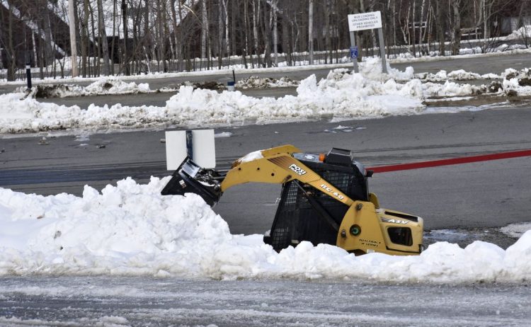
It’s going to snow hard over most of western and northern Maine during the day Tuesday.
Indeed, the state is facing a wintry week of weather even though the official start of winter is still several weeks away.
The National Weather Service office in Gray is forecasting that towns in the higher elevations – such as Rangeley, Andover, Kingfield, New Portland and Jackman – could see as much as 6 to 8 inches of snowfall by the time the storm ends Tuesday night.
By 1 p.m. Tuesday, the service reported Maine’s highest accumulation of 7 inches was in Sangerville, about 45 miles northwest of Bangor, according to the Associated Press.
Three to 5 inches of snow is expected to accumulate a bit farther to the south in places such as Bethel, Rumford, Norway and Fryeburg, with Sanford, Lewiston and Augusta looking at a potential of 1 to 3 inches.
Forecasters are predicting a far different weather scenario for Portland and coastal regions, where only rain is expected Tuesday.
Meteorologists on Monday issued a winter weather warning for Aroostook, Franklin, Oxford, Penobscot, Piscataquis and Somerset counties that will be in effect from 4 a.m. to 7 p.m. Tuesday.
“Heavy snow expected. Plan on difficult travel conditions, including during the morning commute on Tuesday. Total snow accumulations of 5 to 8 inches are expected,” the weather service wrote in a warning posted on its website.
According to the weather service, the storm is the result of a low pressure system tracking up the East Coast that will spread into northern New England after midnight Monday. The storm will start out as snow over most of the state, but will quickly turn to rain along the coast.
The western mountain sections of Maine – stretching from Fryeburg and Rangeley – as well as Presque Isle in the north will be among the places with the heaviest snowfall.
James Brown, a meteorologist with the weather service, said he is not surprised to be forecasting snow this early in the season. Winter doesn’t officially start until Dec. 21.
“This is a weather pattern that just happens once every few years or so,” Brown said.
In addition to the snow, Brown said Mainers should brace for temperatures to drop significantly.
“The cold coming in behind this thing is going to be brutal,” Brown warned.
The state’s mountainous regions could see temperatures by Wednesday in the 10- to 15-degree range, with Portland looking at a low in the mid-20s, Brown said.
Another storm is bearing down on Maine and could arrive Thursday night into Friday, bringing with it more snow and cold weather, but Brown said it’s still too early in the week to forecast its impact.
Maine’s two largest ski mountains, Sugarloaf and Sunday River, are scheduled to be open on a daily basis by the end of the week.
Sugarloaf, which got 10 inches of natural snow over the weekend, plans to open Friday. Five trails at Sunday River have been open on weekends only since Oct. 19.
Dennis Hoey can be contacted at 791-6365 or at:
dhoey@pressherald.com
Send questions/comments to the editors.

Success. Please wait for the page to reload. If the page does not reload within 5 seconds, please refresh the page.
Enter your email and password to access comments.
Hi, to comment on stories you must . This profile is in addition to your subscription and website login.
Already have a commenting profile? .
Invalid username/password.
Please check your email to confirm and complete your registration.
Only subscribers are eligible to post comments. Please subscribe or login first for digital access. Here’s why.
Use the form below to reset your password. When you've submitted your account email, we will send an email with a reset code.